Umiat Camp
and Airfield, Alaska
69 22.196
N, 152 8.174 W
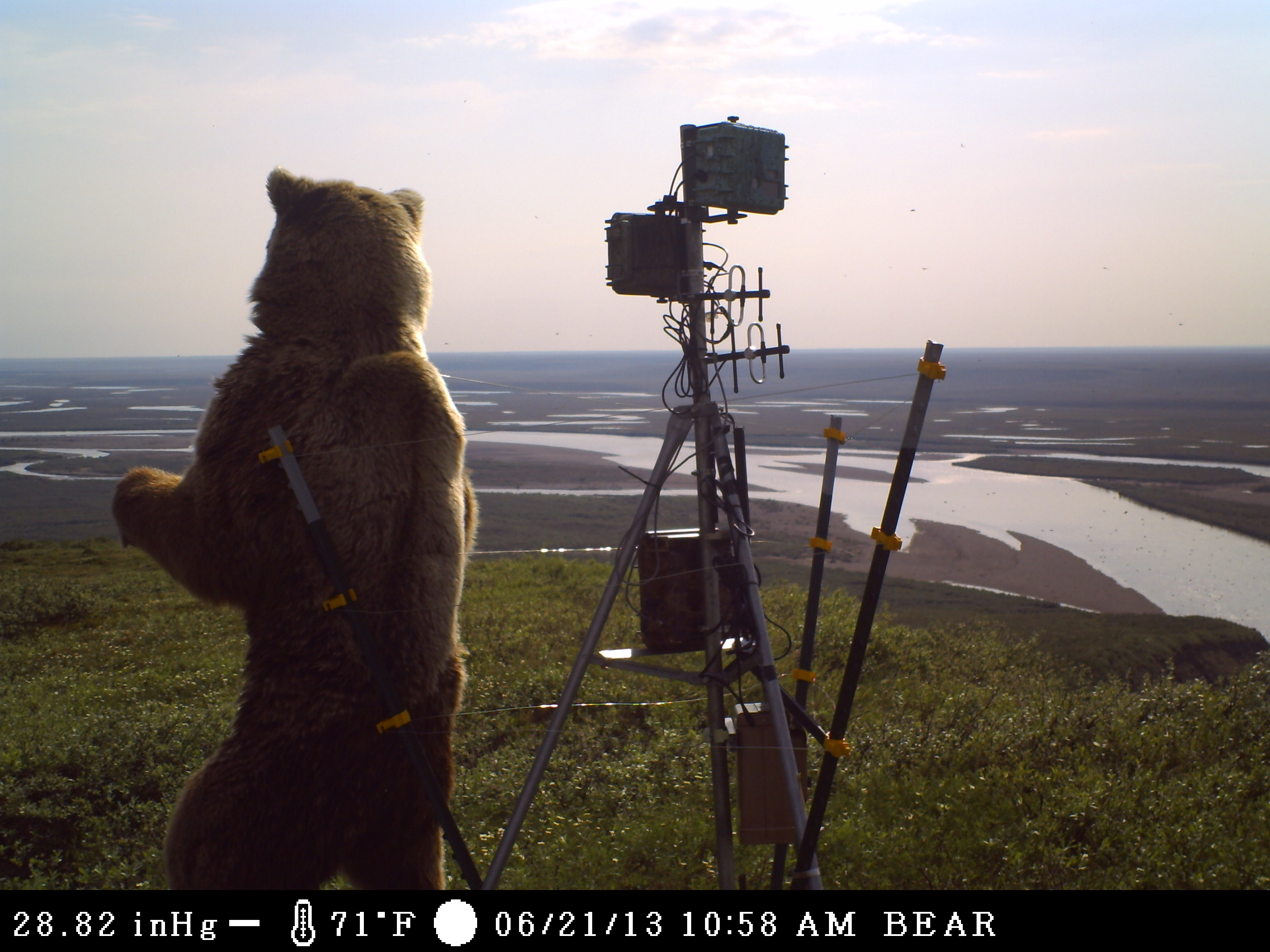
No fuel is available. Current Umiat weather is at MESOWEST. Archived NPRA weather (USGS). Always check time stamps for wx obs and webcam pix.Umiat Mt bear pix1 pix2 video1 2 3 4 Inigok RAWS . Malamute Energy is new owner of Umiat leases. NPRA streamflow data now available here. plots will soon be added.
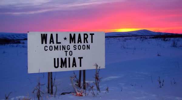
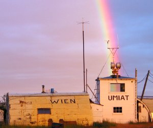
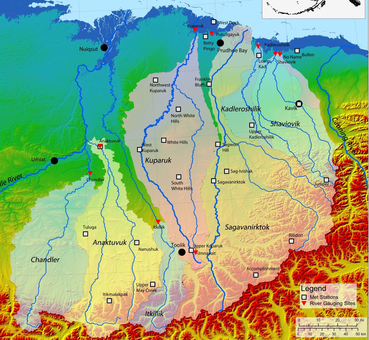
Umiat, located on the scenic Colville River on the central North Slope of Alaska, has a history dating back to 1944 when the Navy first began exploring what is now called the National Petroleum Reserve. Since those early years, Umiat has continued to play an important role as a staging area for oil and gas exploration both east and west of the river. Currently, the Umiat airstrip acts as an alternate to the two main airports at Barrow and Deadhorse. Umiat Camp, under the ownership of UIC UMIAQ, can be contacted for all services, including aircraft refueling. Contact Mike Matteucci 907-762-0136 mike.matteucci@uicumiaq.com for up-to-date information. BLM and ADFG continue to maintain field operations out of Umiat. Cameras are operated under the direction of Ted Inman, (BLM), and Frank Urban (USGS).
Umiat oil exploration history, Colville River dino dig, historical weather and river info
History - Fossil Digs - Weather - River data - Landfill
Website questions can be sent to
![]()
|
Umiat Weather Information |
||
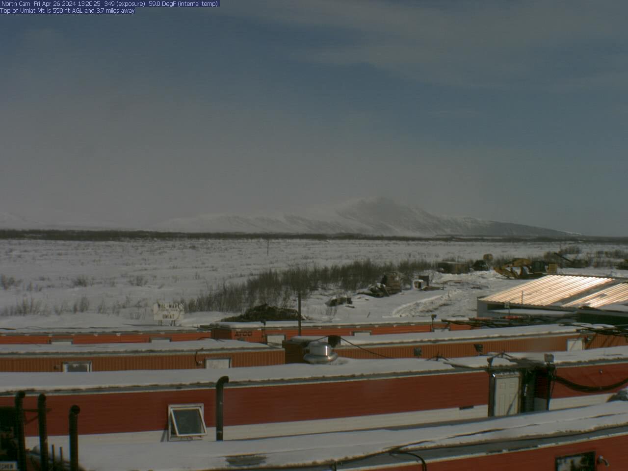
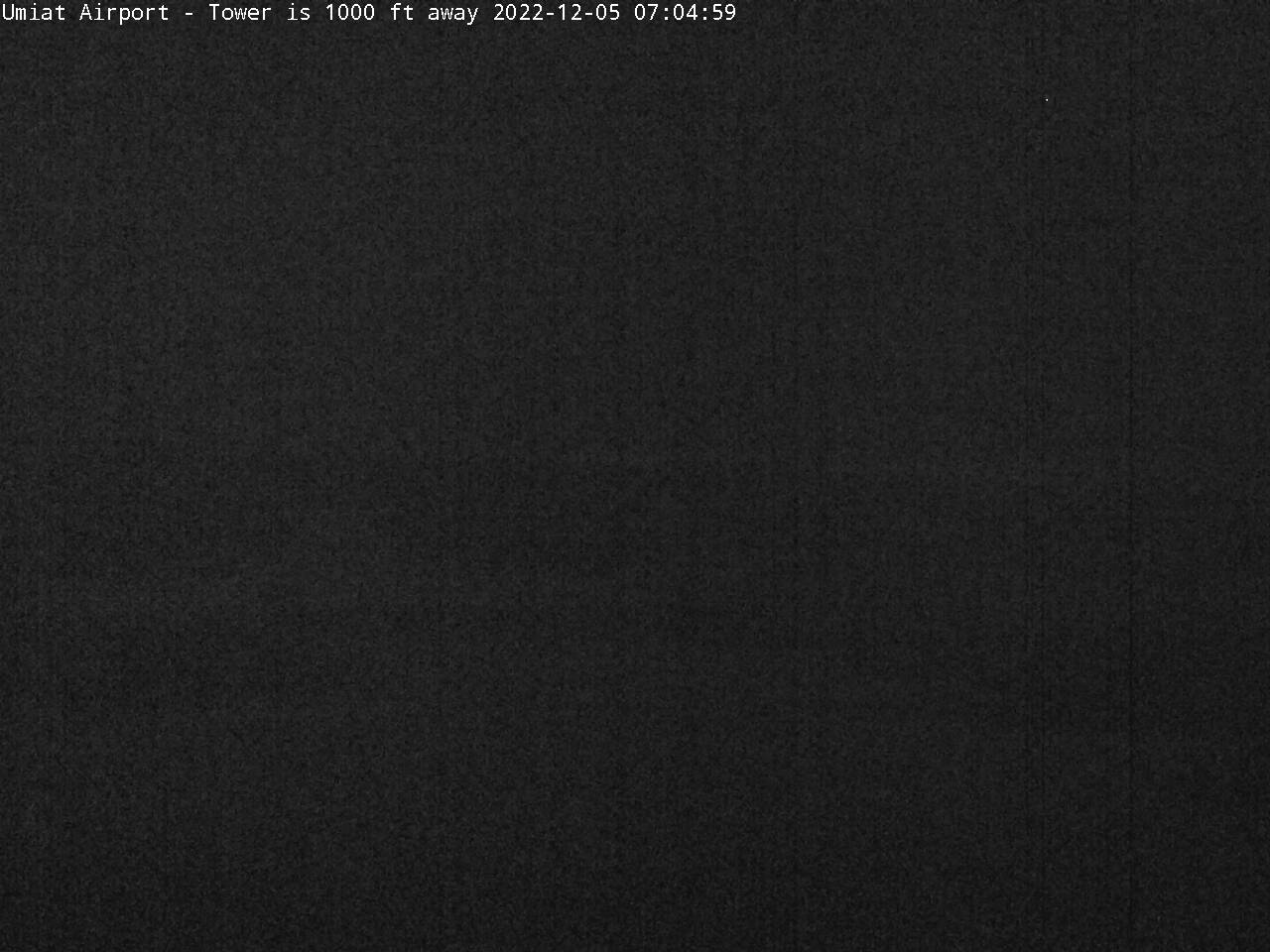
| Airportcam2 | ||
| Current Umiat Weather: MESOWEST WX Databases: WRCC - HADS - EDD NSlope WX Networks: Beaufort -Road - Map Forecast: Text - Aviation - Sat all options Global Winds/Temp - Winds |
||
|
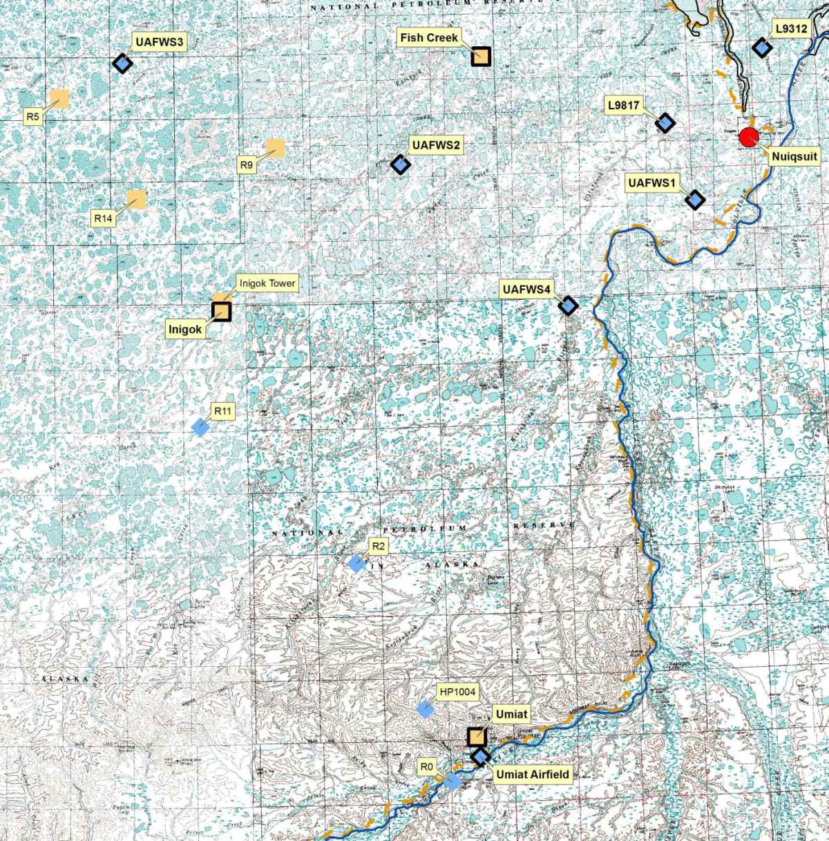
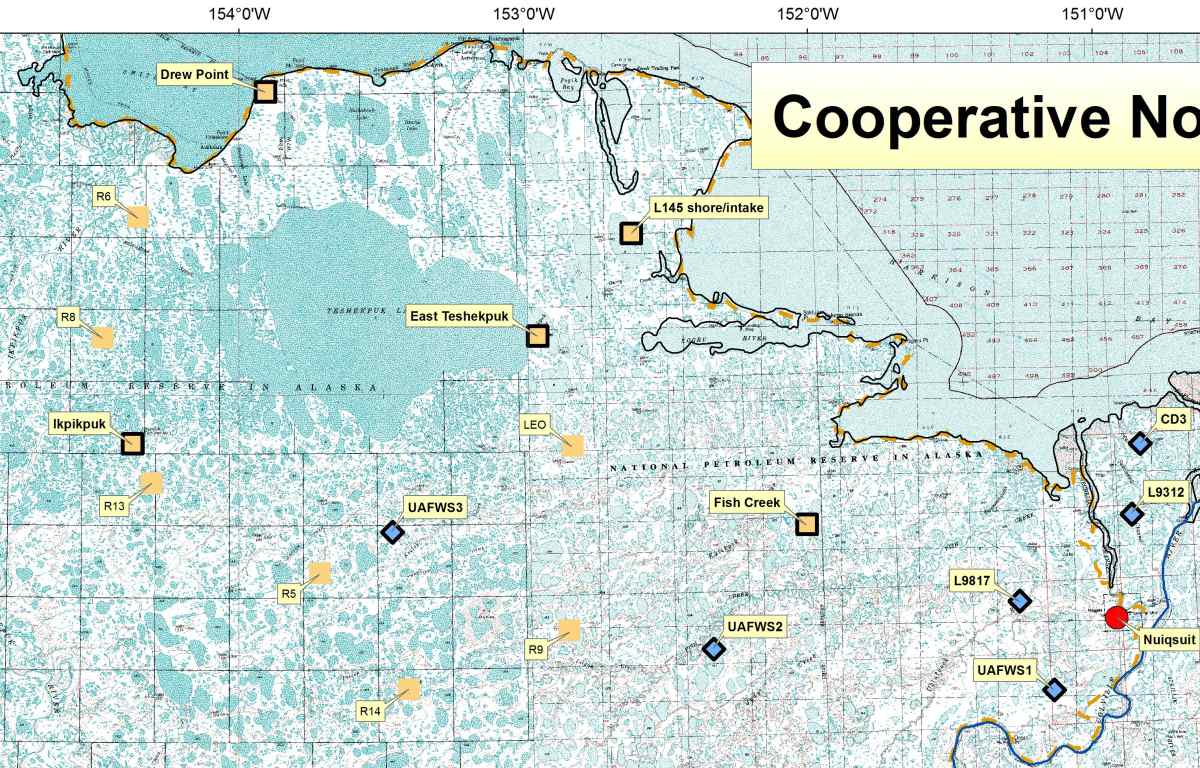
Nearby Weather Stations |
||
Dial-up weather: 1-800-472-0391
option 1,4,3 for N.Brooks Range West of Colville R (UMT)
option 1,5,1 for Prudhoe Bay, Nuiqsut (SCC)
option 1,5,3 for N.Brooks Range East of Colville R (AKP)
|
Regional Webcams
|
|
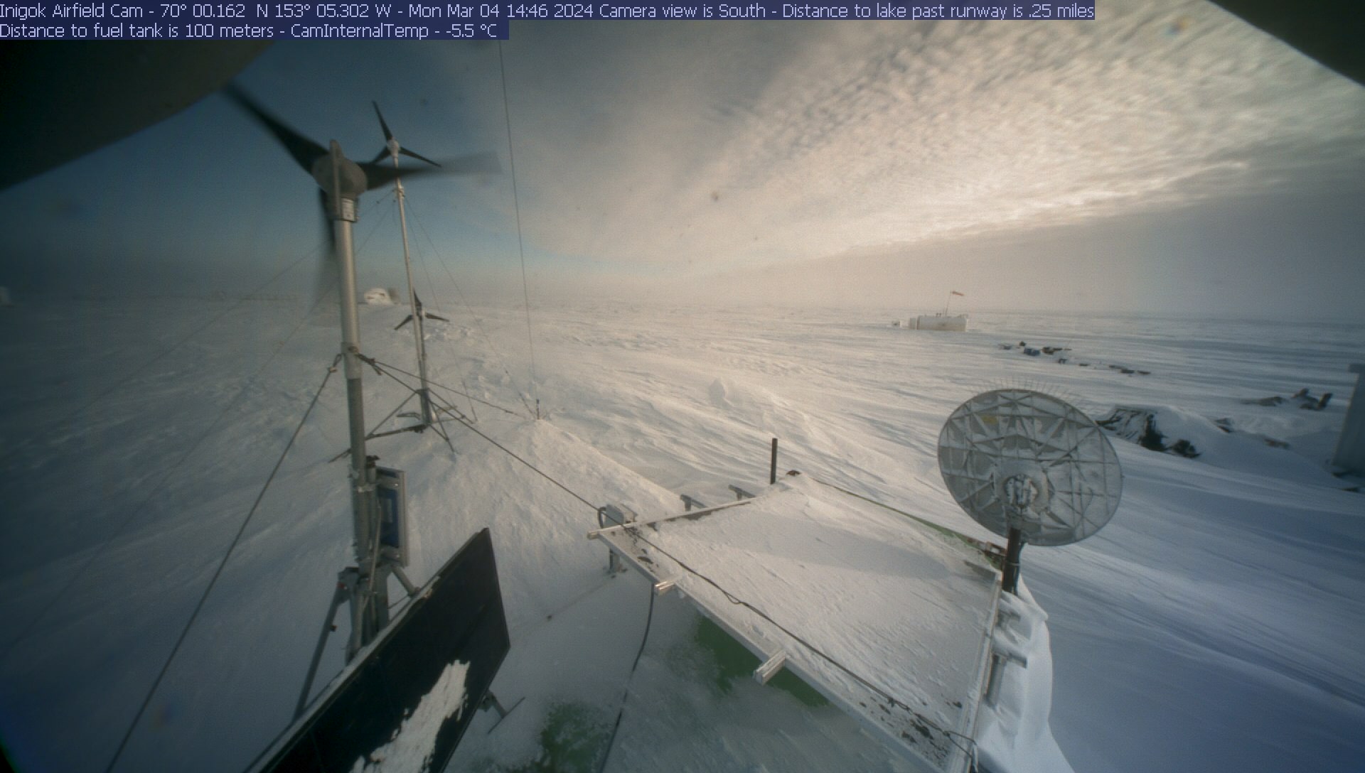
| Inigok Local |
|
| Toolik all | Toolik buckeyes |
| FAA sites | Sag R cams |
| USGS site | |
|
FAA Weather Stations
|
|
|
FAA Airport Maps |
| 2001 map Current Airport map |
|
Additional Pages |
| Umiat History - Fossil Digs |
| Weather and Rivers |
| NPRA Network |
| ivotuk.com |
| inigok.com |